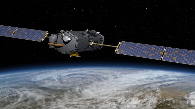
Depending on your needs, you can use various satellite data sources. For example, some platforms allow you to view the data in your browser, while others will enable you to download it so you can process it and extract useful information. In addition, some people are interested in free satellite imagery providers, while others are interested in the highest resolution satellite photography that can be purchased.
Today, anyone with a computer may view satellite photographs of the world for free. Many companies and products, including forest monitoring app providers, rely on satellite imagery as the data source. They are, fortunately, available to everyone.
5 Satellite Imagery Sources
With modern innovation, you may make animated satellite maps and track numerous occurrences on the surface of the Earth. It’s a relatively straightforward procedure.
A computer and the internet is all you need. Then, you can observe hard-to-reach places using an analytical approach to the data gathered. Here are several satellite imagery providers that you can use:
1. NASA WorldView– The program allows users to interact with NASA’s EOSDIS satellite photos fully.
Free data on preventing fires, floods, and other natural disasters, as well as air quality, is available.
2. Zoom Earth– allows you to see the most up-to-date satellite imagery and aerial views on a quick, zoomable map. Users can access a variety of resolution settings by zooming in.
Every 10-15 minutes, the platform receives new data from several sources. Real-time photographs are one of the platform’s most important characteristics.
3. Google Earth– Landsat-8 satellite images are now accessible. Images from planes, kites, and uncrewed aerial vehicles (UAVs) are also shown. The resolution of the photographs may differ depending on where you are.
You have the option of using the standard or professional version. You’ll get premium-quality photographs and advanced features if you go with the latter option.
4. Open Data Program for Digital Globe– can be what you’re looking for if you require high-resolution satellite imagery for free.
Although the entire library is not free to download, you can use photos with Creative Commons licenses and imagery samples.
5. LandViewer– is an online GIS assistant with on-the-fly searching and processing capabilities that allows you to extract meaningful information from satellite data and develop innovative business ideas.
It also works with other GIS applications, allowing you to use the Web Maps Service to combine Landviewer data with third-party software.
Land Viewer allows you to request high-resolution satellite photos from all across the world for analysis. The server will focus on your AOIs on the map and offer you related visuals. You will save time and money as a result of this.
Use a variety of other LandViewer capabilities, such as image tools and clusters, to focus on specific sorts of data and time-lapse motion to produce a video, to name a few.
Takeaway
Technology today comes a long way with various viewing and resolution options available on image platforms. In addition, users are exposed to near-real-time, real-time, and historical data.
These settings allow you to compare images from different eras and track the evolution of the planet.
The sources also offer free image analysis and statistics, among other things. You can locate everything you desire, including historical information and 50-year-old spy pictures. Choose a service provider based on your requirements.
Visit here : newsmartzone

